
You just lost days on site delays caused by unclear data and miscommunication. Drone mapping with high-resolution orthomosaic visuals changes the game by giving you precise, survey-grade insights fast. Imagine cutting rework, tightening schedules, and keeping every team member on the same page—DroneSpection’s UAV mapping delivers all that and more. Ready to see your site run like clockwork? Check out how drones are transforming construction site management.
Streamlining Construction Site Management
Drone mapping is revolutionizing how you manage construction sites. More than just a tool, it becomes a crucial asset in your project arsenal. Want to see how this tech enhances every stage of your project?
Advantages of Drone Mapping
Drone mapping offers a bird’s-eye view of your site, bringing unseen details into plain sight. It eliminates guesswork, providing accurate data quickly. With this data, you can make informed decisions that drive your project forward.
-
Time-Saving: Traditional methods can be slow. Drones capture vast areas in minutes, reducing survey times significantly.
-
Cost Efficiency: Fewer resources spent on manual surveys mean reduced project costs. Plus, accurate data minimizes costly errors and rework.
Learn more about the role of drones in construction.
High-Resolution Orthomosaic Benefits
Orthomosaics offer detailed, scalable visuals of your site. Each image is meticulously stitched together, creating a seamless map that’s both precise and easy to interpret. This clarity aids in various project phases.
-
Precise Planning: High-resolution images allow for detailed site analysis, helping in pre-construction planning.
-
Monitoring Progress: Keep track of every development with regular updates, ensuring your project stays on schedule.
Improving Site Communication
Clear visuals improve communication among teams. Everyone sees the same picture, literally. This transparency reduces the possibility of misinterpretations and keeps everyone aligned.
-
Enhanced Collaboration: Share visuals easily across teams, promoting collaboration and consensus.
-
Effective Briefings: Use comprehensive visuals to convey complex site conditions in simple terms.
Enhancing Accuracy and Timelines
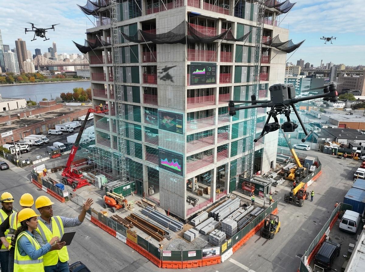
Accurate data and strict timelines are the backbone of any successful project. Drone mapping ensures you have both, with incredible precision and efficiency.
Role of RTK Drones and PPK Accuracy
RTK (Real-Time Kinematic) and PPK (Post Processed Kinematic) technologies enhance accuracy. These drones provide centimeter-level precision, vital for high-stakes projects.
-
Precision: RTK and PPK systems correct GPS errors, offering unparalleled accuracy.
-
Reliability: These technologies ensure data consistency, crucial for decision-making and planning.
Importance of Ground Control Points
Ground Control Points (GCPs) are essential in drone mapping. They serve as reference points, enhancing the accuracy of aerial maps.
-
Stability: GCPs ensure your maps are correctly aligned with the real world.
-
Validation: They provide checkpoints to verify data accuracy, maintaining data integrity.
Photogrammetry and Data Precision
Photogrammetry transforms images into precise 3D models. This process captures both the beauty and complexity of your site with stunning accuracy.
-
3D Modeling: Create detailed, realistic models of your site for analysis and visualization.
-
Data Depth: Gain deeper insights into your project’s progress and challenges.
Advanced Analysis and Reporting

Advanced reporting tools provide a comprehensive view of your project’s progress. These insights help you manage resources efficiently and predict future challenges.
Volumetric Analysis and Calculations
Understanding volume changes on your site is crucial. Drone mapping allows for precise volumetric calculations, essential for resource management.
-
Resource Management: Accurately measure stockpiles, ensuring efficient resource allocation.
-
Cost Estimation: Calculate material needs and costs with precision, minimizing waste.
Leveraging BIM Integration and CAD Overlays
Integrating drone data with BIM (Building Information Modeling) and CAD (Computer-Aided Design) enhances project coordination and planning.
-
Seamless Integration: Easily incorporate drone data into existing models for comprehensive analysis.
-
Enhanced Design: Use CAD overlays to visualize and adjust designs based on actual site conditions.
Effective Progress Reporting and Change Detection
Regular progress reports keep you informed and agile. Detect changes early to address issues promptly and maintain project momentum.
-
Timely Insights: Frequent updates help you spot deviations quickly, enabling swift corrective actions.
-
Change Management: Adjust project plans based on current data, keeping timelines intact.
Frequently Asked Questions
Why is drone mapping important for construction sites?
Drone mapping provides accurate data quickly, helping you make informed decisions. It enhances project planning, monitoring, and communication, ultimately saving time and costs.
How do RTK and PPK technologies improve drone mapping accuracy?
RTK and PPK correct GPS errors, delivering centimeter-level precision. This accuracy is vital for detailed project planning and execution.
What are the benefits of integrating drone data with BIM and CAD?
Integrating drone data with BIM and CAD enhances project analysis and design. It offers a comprehensive view of your project, improving coordination and planning.
Learn the advantages of precision mapping for your projects.