Build Smarter in Every Season: The Advantages of Drone Mapping for Construction Monitoring
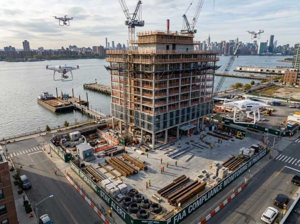
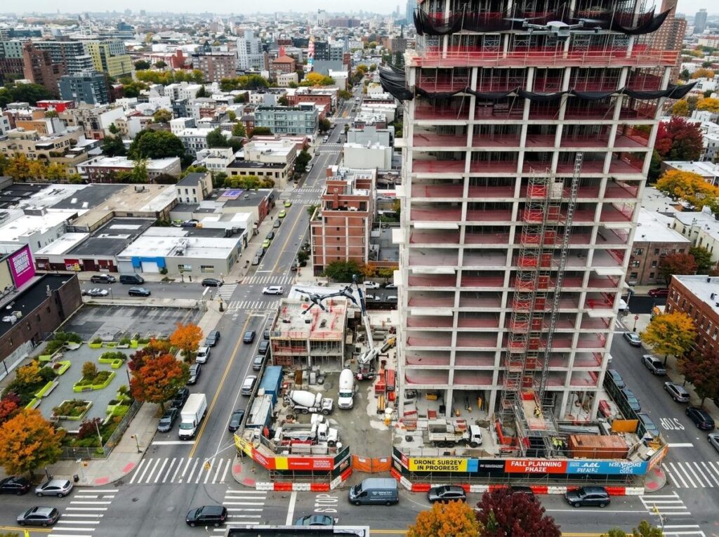
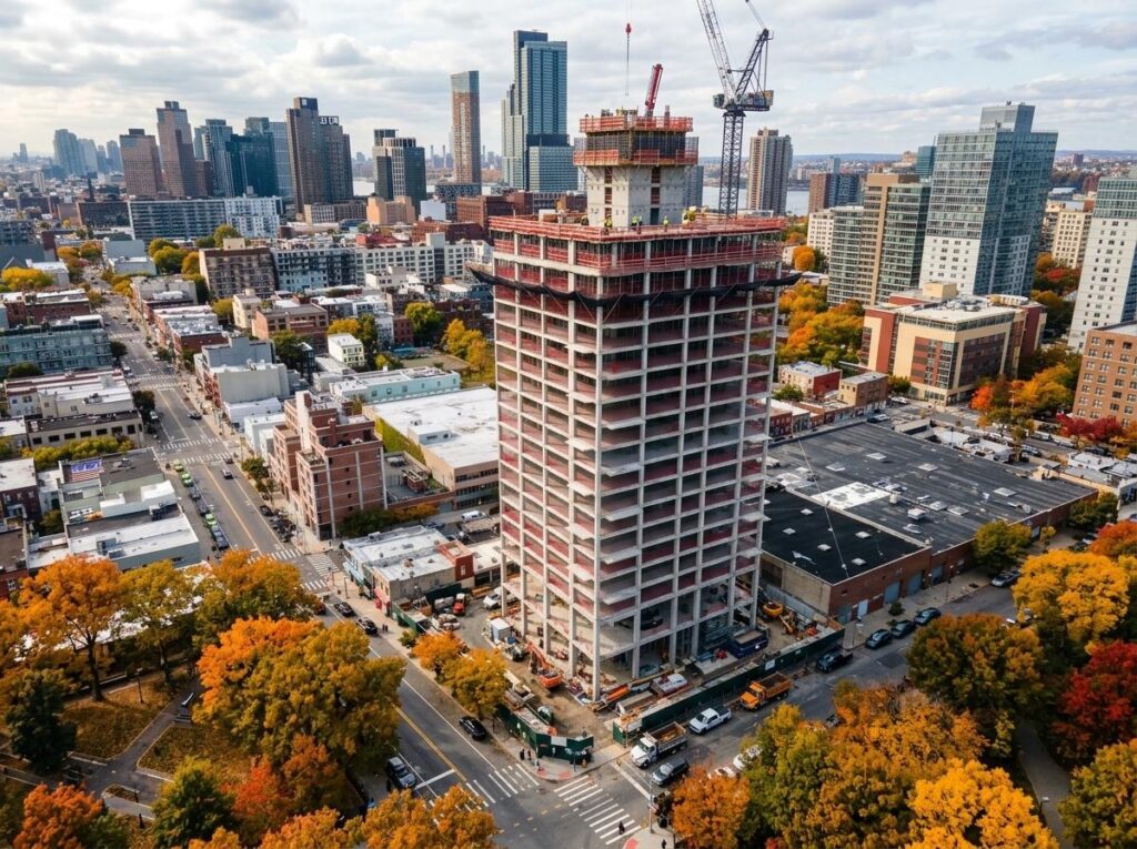
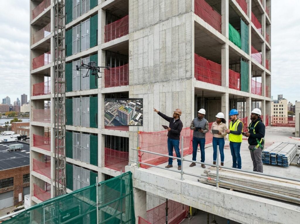
Year-round drone mapping enhances construction monitoring by leveraging seasonal conditions to improve site visibility, safety, erosion control, schedule tracking, and data accuracy, ensuring proactive project management.