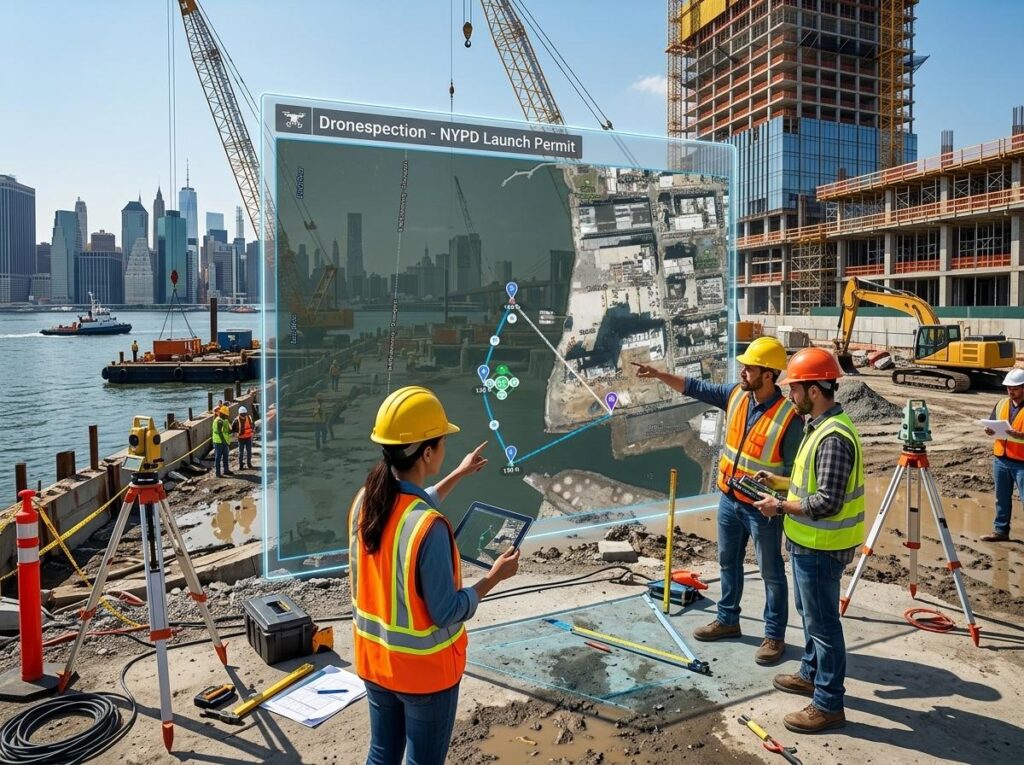
Forget the days when site surveys took weeks and left you guessing. Drone mapping orthomosaic technology now delivers centimeter-grade accuracy that changes how you plan, track, and verify every inch of your construction site. In this guide, you’ll learn how aerial mapping for construction, combined with RTK drone accuracy and precise ground control points, makes your data faster, safer, and more reliable than ever before. Learn more about drone mapping in construction.
Mastering Aerial Mapping for Construction
Drone Mapping Orthomosaic Explained
Drone mapping orthomosaics are revolutionizing construction. These high-resolution maps stitch together images captured by drones, giving you a clear, accurate view of your site. Imagine being able to see every inch of your project with pinpoint clarity. This technology allows you to track progress, plan efficiently, and even find potential issues before they become problems.
In the past, mapping such details required significant time and resources. Now, drones make it quick and simple. They fly over your site, capturing images that are then processed into a seamless map. This map is more than just a picture—it’s a tool for making informed decisions. You can zoom in to see specific areas, measure distances, and even calculate volumes. Explore a complete guide on orthomosaic mapping.
RTK Drone Accuracy and PPK Workflow
Precision is key in construction. RTK (Real-Time Kinematic) drones provide the accuracy you need. These drones use satellite signals to correct their position in real time. This means you get data with centimeter-level accuracy. It’s like having a surveyor on-site, but faster and more efficient.
The PPK (Post-Processed Kinematic) workflow takes this a step further. Instead of real-time corrections, it makes adjustments after the flight. This method is ideal in areas with weak satellite signals. Both RTK and PPK ensure you get reliable data, no matter the conditions. This accuracy helps you avoid costly mistakes and keeps## Mastering Aerial Mapping for Construction
Drone Mapping Orthomosaic Explained
Imagine capturing your entire construction site in one detailed image. That’s the power of drone mapping orthomosaic. This technique stitches together multiple aerial photos into a seamless, high-resolution map. You get a bird’s-eye view of your project, allowing for precise planning and tracking. These maps are not just about visuals; they provide accurate measurements for every aspect of your site.
When you use an orthomosaic map, you can spot potential issues early. This proactive approach saves you time and money. Plus, it’s a safer method to survey difficult terrains. The technology is like having a digital twin of your site, offering insights you never had before. With drones, you are not just seeing your site; you’re understanding it in detail.
RTK Drone Accuracy and PPK Workflow
Precision is crucial in construction, and RTK (Real-Time Kinematic) technology delivers just that. RTK drones use satellite data to provide centimeter-level accuracy in mapping. This accuracy is vital for tasks like site grading and foundation placement. It’s like having a highly skilled surveyor in the sky.
PPK (Post-Processed Kinematic) workflow enhances this accuracy even further. PPK processes the data after the flight, correcting any errors by using reference points. This ensures that your maps are reliable and ready for decision-making. With RTK and PPK, you get accuracy that traditional methods struggle to match. Drones bring precision to every pixel of your site.
Ground Control Points: The Key to Precision
Ground Control Points (GCPs) are like the anchors of your drone map. They are physical markers on the ground that the drone uses to align its data accurately. Think of them as the backbone of mapping precision. By setting up GCPs, you ensure that your drone’s data is as close to perfect as possible.
These points help translate the drone’s aerial data into real-world measurements. Without them, your map might look great but lack the precision needed for critical construction decisions. Incorporating GCPs means you can trust your data completely, reducing the margin of error and boosting confidence in your project.
Drone Technology in Construction
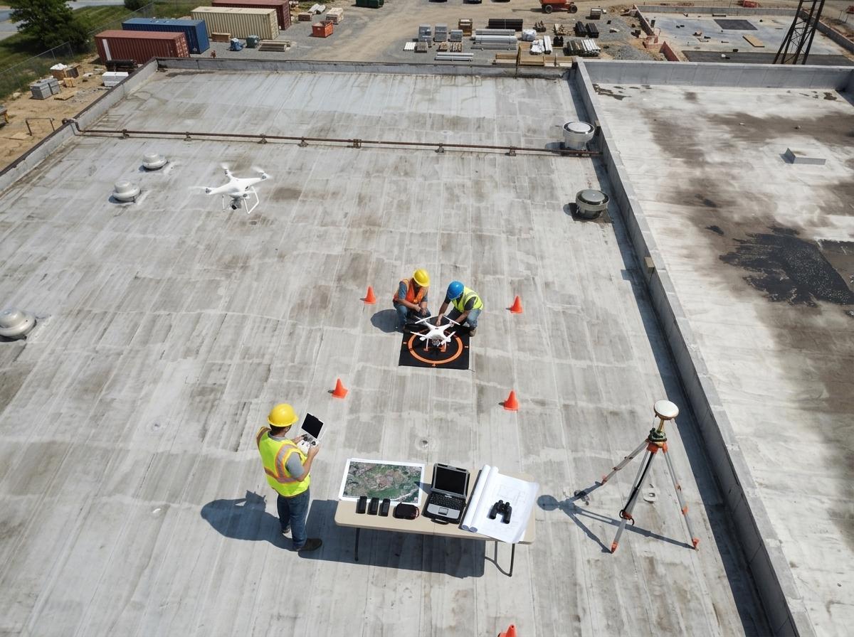
Construction Progress Mapping Techniques
Tracking progress is essential in any construction project. Drones simplify this task with progress mapping. By capturing regular aerial images, you can create a timeline of your project’s development. This visual history helps you make informed decisions quickly. You can compare current progress against plans, identifying delays or deviations early.
Drones offer a way to monitor your site’s progress without setting foot on it. This remote capability saves time and reduces safety risks. It’s a method that most construction pros are adopting for its efficiency and accuracy. With drone technology, you stay on top of your project effortlessly.
As-Built Verification with Drones
Ensuring that construction matches the design is crucial. As-built verification with drones provides a reliable way to check this. Drones capture the finished site, creating detailed maps that you can compare with original plans. This process identifies discrepancies and ensures compliance with design specifications.
Using drones for verification is faster and safer than traditional methods. You can verify large sites in less time, with less manpower. This approach not only saves resources but also enhances accuracy. It’s a smart move that keeps your project on track and up to code.
Volumetric Calculations and Earthwork Estimation
Estimating earthwork accurately can be challenging. Drones make volumetric calculations simple and precise. They capture data that helps calculate the volume of materials moved or needed on your site. This information is crucial for budgeting and planning.
With drones, you gain more accurate estimates, reducing the risk of costly overages or shortages. The data is not only reliable but also delivered faster than traditional methods. By integrating drones into your workflow, you streamline earthwork estimation and keep your project within budget.
Deliverables and Integration
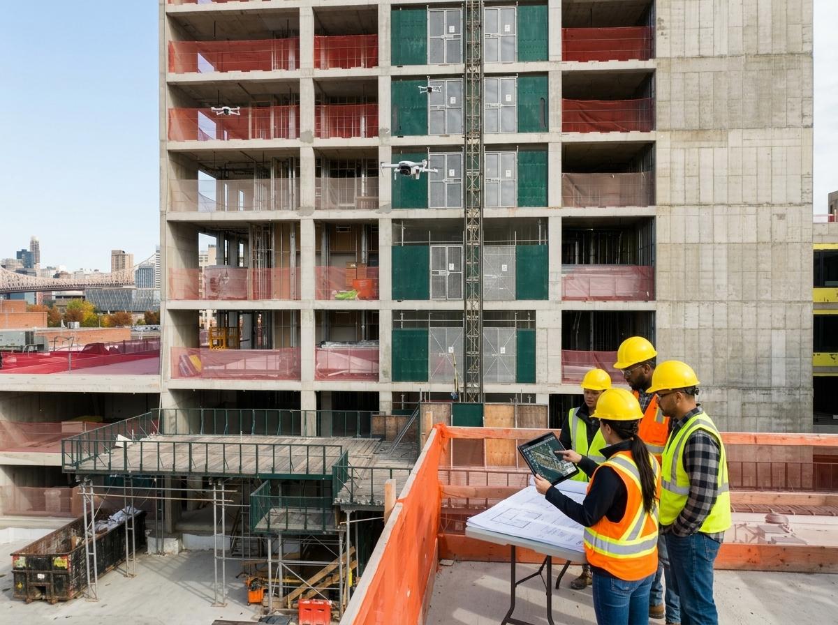
DSM DTM Surfaces and BIM Integration
Digital Surface Models (DSM) and Digital Terrain Models (DTM) are vital for modern construction. Drones create these models, providing detailed surface and terrain data. This information is crucial for tasks like drainage planning and site grading.
Integrating these models with Building Information Modeling (BIM) enhances project coordination. It ensures that every aspect of your project is aligned, preventing costly errors. Drone technology makes this integration seamless, turning complex data into actionable insights.
CAD GIS Deliverables: What’s Included
Drones deliver more than just images. They provide comprehensive CAD and GIS deliverables. These include detailed maps and models that integrate into your existing systems. It’s like having a complete digital toolkit for your site.
These deliverables support every stage of your project, from planning to completion. They provide the precision and detail needed for high-stakes decisions. With drone data, you’re equipped to tackle any challenge with confidence.
Quality Assurance in UAV Mapping Services
Quality assurance is paramount in UAV mapping. Reliable data ensures that your project stays on the right path. Dronespection prioritizes quality in every mapping mission. From accurate data capture to meticulous processing, quality is at the forefront.
Choosing a partner like Dronespection means choosing precision and reliability. Our services are designed to meet the highest standards, ensuring that your project benefits from the best in UAV mapping. Trust in our expertise to deliver results that exceed expectations.
Frequently Asked Questions
What is drone mapping orthomosaic?
Drone mapping orthomosaic involves stitching aerial images into a detailed, high-resolution map. These maps provide accurate measurements and comprehensive site views, aiding in construction planning and tracking.
How do RTK and PPK improve mapping accuracy?
RTK uses satellite data for real-time precision, while PPK enhances accuracy by correcting data post-flight. Together, they ensure centimeter-level accuracy in drone mapping, crucial for tasks like grading and foundation placement.
Why are Ground Control Points important?
Ground Control Points (GCPs) ensure mapping precision by providing reference points for drone data. They help translate aerial data into real-world measurements, essential for accurate construction decisions.
How do drones assist in construction progress tracking?
Drones capture regular aerial images to create a visual timeline of project development. This allows for quick comparison against plans, early deviation detection, and informed decision-making.
What are the benefits of drone-based volumetric calculations?
Drones provide precise volumetric calculations by capturing data for accurate material volume estimation. This aids in budgeting, planning, and reducing the risk of overages or shortages.
Learn the advantages of precision mapping for your projects.