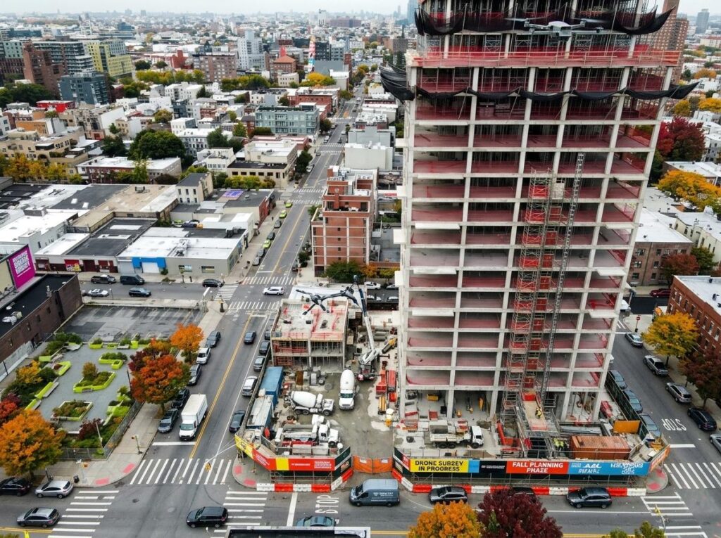
Forget the old ways of fall construction planning that slow you down and leave uncertainty behind. Your next project deserves clear, survey-grade data delivered fast—straight from RTK drones and precision photogrammetry. With DroneSpection’s FAA Part 107-approved flights, you get crystal-clear orthomosaic maps, real-time progress monitoring, and expert insights that keep your schedule on track. Ready to see how drone construction mapping can sharpen your fall project planning? Learn more here.
Revolutionizing Fall Construction Planning
As the leaves turn, construction sites buzz with activity. Drone technology is changing how these projects are planned and executed. Let’s explore how drones are transforming fall construction planning.
Drone Construction Mapping Essentials
Drone mapping delivers crystal-clear data, crucial for keeping projects on track. With RTK drones, you receive real-time, precise data. These drones offer survey-grade accuracy, reducing errors and saving time. Imagine viewing your site from above, pinpointing areas that need attention.
Photogrammetry is another key tool. This technology creates detailed 3D models from aerial images. By using these models, you can better visualize site conditions. It’s like having a bird’s-eye view that reveals hidden challenges before they become costly problems.
Understanding RTK and PPK Workflows
RTK and PPK workflows are essential for accurate data capture. RTK provides real-time corrections, ensuring immediate accuracy. Conversely, PPK processes data post-flight, offering flexibility. Each method has its benefits, depending on your project needs.
Using these workflows helps you make informed decisions. You can track progress, monitor changes, and adjust plans swiftly. This proactive approach keeps your projects moving smoothly, even as fall weather becomes unpredictable.
Advanced Drone Technologies
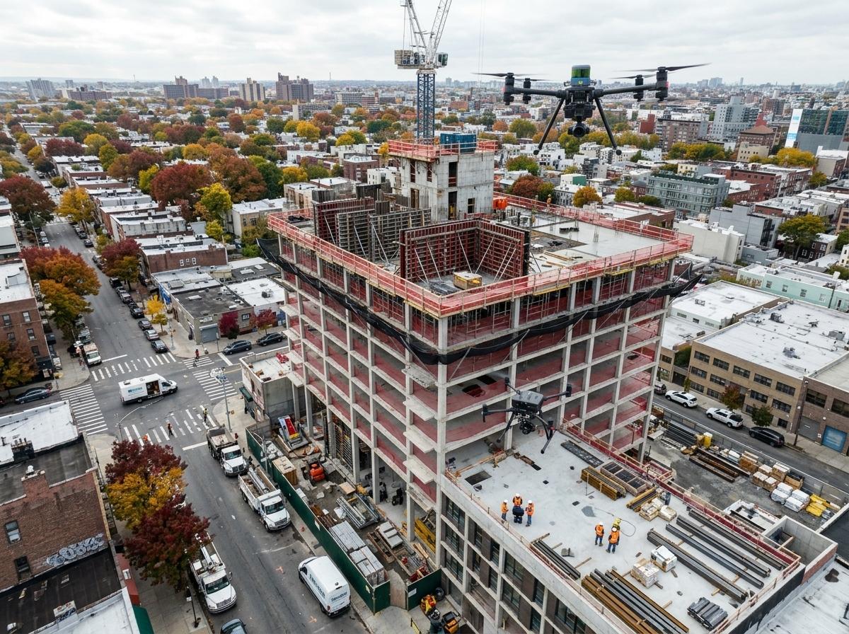
Drones are not just about flying cameras; they offer advanced technologies that boost efficiency and safety on construction sites.
Orthomosaic Maps for Site Logistics
Orthomosaic maps are high-resolution, stitched images of your site. They provide a comprehensive view that aids in logistics planning. With these maps, you can manage resources better, reducing waste and improving productivity.
These maps are also great for highlighting site changes. By comparing maps over time, you can detect alterations and address them promptly. This ability to see ‘before and after’ helps keep your project on schedule.
Photogrammetry and LiDAR Drones
Photogrammetry and LiDAR are game changers in construction. Photogrammetry creates detailed 3D models, while LiDAR uses laser scanning for precise terrain mapping. Both technologies offer unique insights that are crucial for planning.
LiDAR, in particular, excels in capturing terrain details. It’s useful for projects that require detailed ground information, like road construction. With these insights, you can make more informed decisions, minimizing costly errors.
Enhancing Construction Documentation
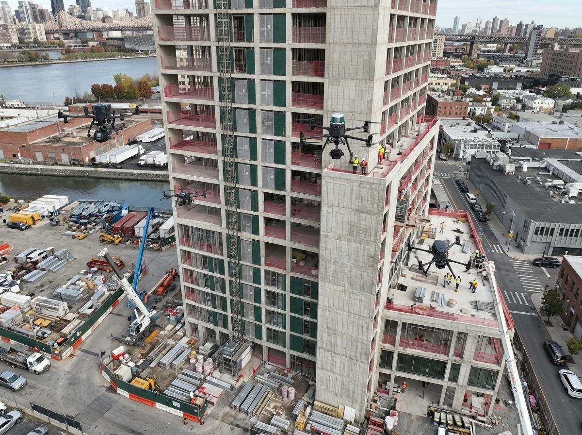
Drones also play a vital role in documenting construction progress, ensuring transparency and accountability.
Thermal Drone Inspections for Fall
Thermal inspections reveal what’s invisible to the naked eye. By detecting heat variations, these drones can uncover issues like water leaks or electrical faults. Identifying such problems early prevents costly fixes later.
These drones are particularly useful in fall, when temperature changes can affect site materials. By using thermal inspections, you ensure your site remains safe and compliant throughout the season.
Interactive 360° Panoramas and Stakeholder Updates
Interactive panoramas offer immersive site views. Stakeholders can explore construction progress from anywhere, enhancing communication and trust. It’s like providing a virtual site visit that keeps everyone informed.
These panoramas are not just for show. They help identify potential issues, allowing for quick interventions. By using this technology, you improve stakeholder collaboration and project outcomes.
Frequently Asked Questions
What are the benefits of using drones in construction?
Drones offer precise data, real-time updates, and improve safety. They reduce costs by preventing errors and enhancing planning.
How do RTK and PPK workflows differ?
RTK provides immediate accuracy with real-time corrections, while PPK processes data after flights for enhanced flexibility.
Why are thermal inspections important in fall?
Thermal inspections detect hidden issues like leaks, crucial as temperature changes can affect construction materials.
How do orthomosaic maps benefit construction projects?
They provide a comprehensive site overview, aiding in logistics and resource management.
Can photogrammetry and LiDAR be used together?
Yes, combining these technologies offers detailed terrain and structural insights, improving planning accuracy.
By embracing these drone technologies, you ensure your fall construction projects are not only safe but also efficient and timely.
Prepare your projects with drone insights before the expo and fall rush.