
You’ve spent countless hours staring at blueprints and spreadsheets, yet key project insights still slip through the cracks. Drone 3D mapping changes that by capturing every detail from above with pinpoint accuracy and speed. Here’s how leveraging FAA Part 107 certified UAV mapping services can cut your timelines, reduce risks, and deliver data-rich models that fuel smarter decisions—starting with a high-precision digital twin tailored to your site’s unique needs. For more on the rise of drone mapping in construction, check out this resource.
Accelerating Project Timelines
Imagine completing your project before the deadline. With drone 3D mapping, this isn’t just a dream. By reducing manual tasks, drones allow you to gather vital data quickly.
Faster Data Collection with Drones
Drones can gather data in hours, not days. Instead of traditional methods that consume time and resources, drones capture site images swiftly. A single flight can cover more ground than a team of surveyors. This speed translates to faster decision-making and keeps your project on track. Additionally, UAV mapping services offer real-time updates that help you make timely adjustments.
Streamlining Decision Making
Having the right information at the right time is crucial. Drones provide you with accurate and detailed data. With georeferenced models, you can make informed decisions promptly. Instead of waiting for reports, access data instantly. This allows your team to address challenges immediately, keeping your project moving smoothly. You can learn more about the benefits of drone mapping from UAV Coach.
Enhancing Construction Progress Monitoring
Keeping an eye on progress has never been easier. Drones provide visual updates at every stage. These updates are not only quick but also detailed. With construction progress monitoring, you can spot issues early. This proactive approach saves time and reduces costly mistakes. Your project stays on schedule, and you avoid unnecessary delays.
Enhancing Accuracy and Reducing Risk
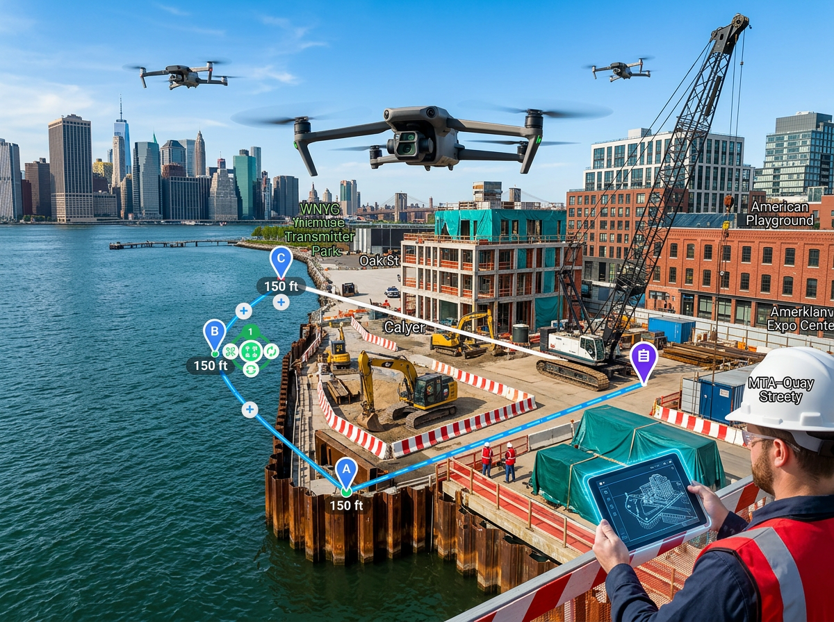
In construction, precision and safety are paramount. Drone technology guarantees both, offering centimeter-level accuracy and reducing on-site risks.
Precision with Centimeter-Level Accuracy
Drones equipped with advanced technology deliver precision. Centimeter-level accuracy means that your data is reliable. When planning or assessing a project, having precise measurements is vital. This accuracy reduces errors, ensuring that your project remains within budget.
Safety Through UAV Mapping Services
Using drones minimizes the need for personnel in risky areas. This reduces potential accidents and injuries on-site. UAV mapping services provide a safe alternative to traditional methods. By keeping your team out of harm’s way, you ensure a safer work environment.
Comprehensive Site Surveys with Drones
Drones can access areas that are hard to reach. This capability allows for thorough site surveys. With drones, you get a complete view of the site, leaving no stone unturned. This comprehensive approach ensures that nothing is overlooked, giving you confidence in your project’s foundation.
Integrating Advanced Mapping Technologies
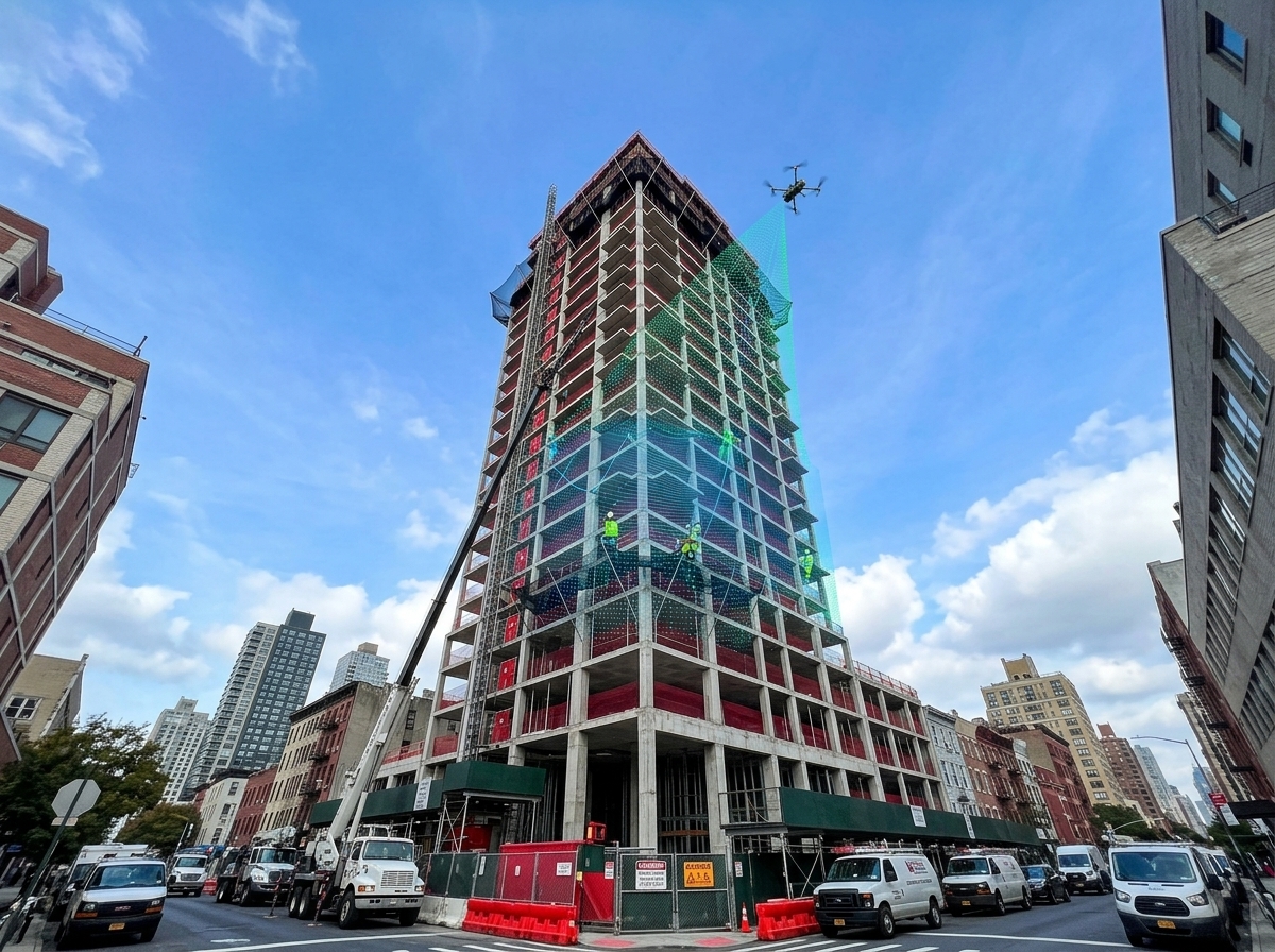
Advanced technologies are transforming how projects are mapped. From digital twins to LiDAR, these tools offer unparalleled insights.
Creating Digital Twins with Photogrammetry
A digital twin provides a detailed 3D model of your site. Using photogrammetry, drones capture images that create this model. This twin allows you to explore your site virtually. It’s like having a miniature version of your project, offering a new perspective. For more insights into 3D mapping, visit Safe Sight XP.
Using LiDAR Drone Mapping for Detail
LiDAR technology adds another layer of detail. It captures fine points that standard cameras might miss. This is essential for projects requiring high precision. LiDAR drone mapping is perfect for complex terrains, providing the detail needed for careful planning.
Seamless AutoCAD and BIM Integration
Integrating drone data with software like AutoCAD and BIM streamlines your workflow. This integration ensures that your data is usable and accessible. It simplifies the transition from mapping to planning. By incorporating drone data into these platforms, you enhance project efficiency and accuracy, making adjustments as needed without hassle.
Incorporating drones into your project strategy ensures you stay ahead. Embrace the future of construction, where efficiency and accuracy meet innovation. For a deeper dive into how drone mapping can transform your planning, refer to Esri’s platform.
Discover how 3-D modeling and facade inspections unlock new project potentials.