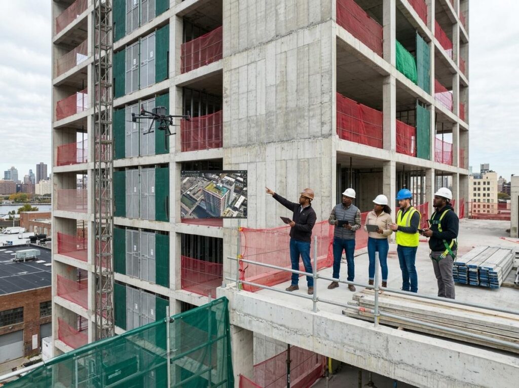
Forget the guesswork that slows your seasonal construction monitoring. Tracking progress from snowy starts to sunny finishes demands precision that traditional methods can’t match. With RTK drone surveys and orthomosaic mapping, you get clear, comparable data every time—cut and fill analysis, 3D photogrammetry models, and timeline reporting that keep your project on track no matter the weather. Ready to see how consistent progress documentation changes your build? Check out our solutions.
Elevating Construction Progress Tracking
Drone mapping is a game changer for construction progress. It offers precision and clarity that traditional methods can’t match. Let’s explore the benefits and standards that make it essential for your projects.
Benefits of Drone Mapping
Drone mapping transforms construction by providing accurate data and visuals. You gain detailed site views, allowing for informed decisions. Using drones, you can capture high-resolution images and videos that offer a comprehensive overview of your site. This technology eliminates guesswork, providing you with precise measurements and visuals to track progress effectively.
Additionally, drone mapping saves time. With quick deployment, you can cover large areas in less time than traditional surveying methods. This efficiency means faster data collection, keeping your project moving smoothly. Plus, drones reach places that are hard to access by foot, ensuring you don’t miss any critical site details.
Accurate RTK Drone Surveys
RTK drone surveys are all about precision. They use real-time kinematic technology to deliver centimeter-level accuracy. This is crucial for construction sites where precision is paramount. With RTK, you can trust that your site data is reliable and ready for analysis.
RTK drone surveys integrate seamlessly into your building information modeling (BIM) systems, providing you with accurate, real-time updates. This means you can easily access and share data with your team, ensuring everyone is on the same page. By using RTK surveys, you minimize errors, reduce rework, and keep your project on schedule.
Safe Insured Drone Company Standards
Safety is at the forefront of our drone operations. We adhere to strict FAA regulations and maintain full insurance coverage, ensuring that your project is in safe hands. Our pilots are experienced and trained to handle any situation, providing you with peace of mind throughout the process.
By choosing a safe and insured drone company, you protect your project from potential liabilities. Our commitment to safety and professionalism ensures that your site is surveyed with precision and care. Trusting an insured company means that you can focus on your project without worrying about unexpected issues.
Seasonal Construction Monitoring Mastery
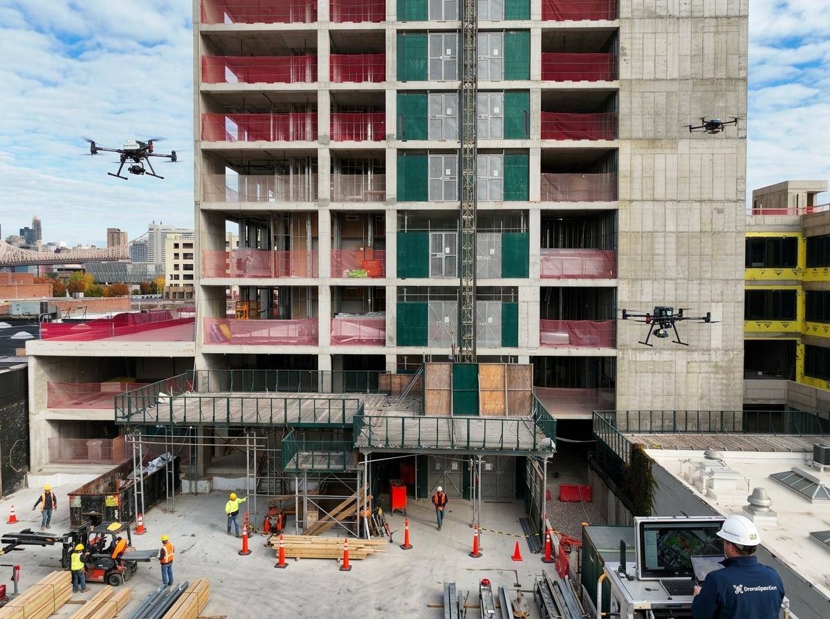
Monitoring construction progress across different seasons can be tricky. With the right techniques and tools, you can maintain consistency and quality year-round.
Winter Construction Monitoring Techniques
Winter presents unique challenges, but drone mapping can help you overcome them. Drones capture clear site images regardless of snow or ice, providing valuable insights into your project’s progress. You can monitor snow accumulation, track equipment movement, and ensure safety protocols are followed.
Using drones in winter means you’re not held back by harsh weather conditions. You get the data you need to keep your project moving forward. With aerial views, you can identify issues early and address them before they become major problems, ensuring a smooth construction season.
Vegetation Canopy and Erosion Tracking
Keeping an eye on vegetation and erosion is crucial for site maintenance. Drones offer a bird’s-eye view of the landscape, highlighting areas of concern. You can monitor vegetation changes and track erosion patterns, allowing you to take action before they affect your project.
Drone mapping helps you maintain ecological balance while keeping your construction on track. By identifying problem areas early, you can implement solutions that minimize impact and preserve the environment. This proactive approach ensures your site remains stable throughout the construction process.
Consistent Site Mapping Across Seasons
Consistency in site mapping is key to successful construction. Drones provide reliable, accurate data no matter the season. This allows you to maintain a clear picture of your project’s progress from start to finish. With consistent mapping, you can make informed decisions and keep your project on schedule.
By leveraging drone technology, you ensure that your site data is always up-to-date. This consistency allows for seamless integration with other project management tools, making it easier to communicate with your team and stakeholders. Consistent site mapping is the foundation of successful project management.
Delivering Actionable Insights
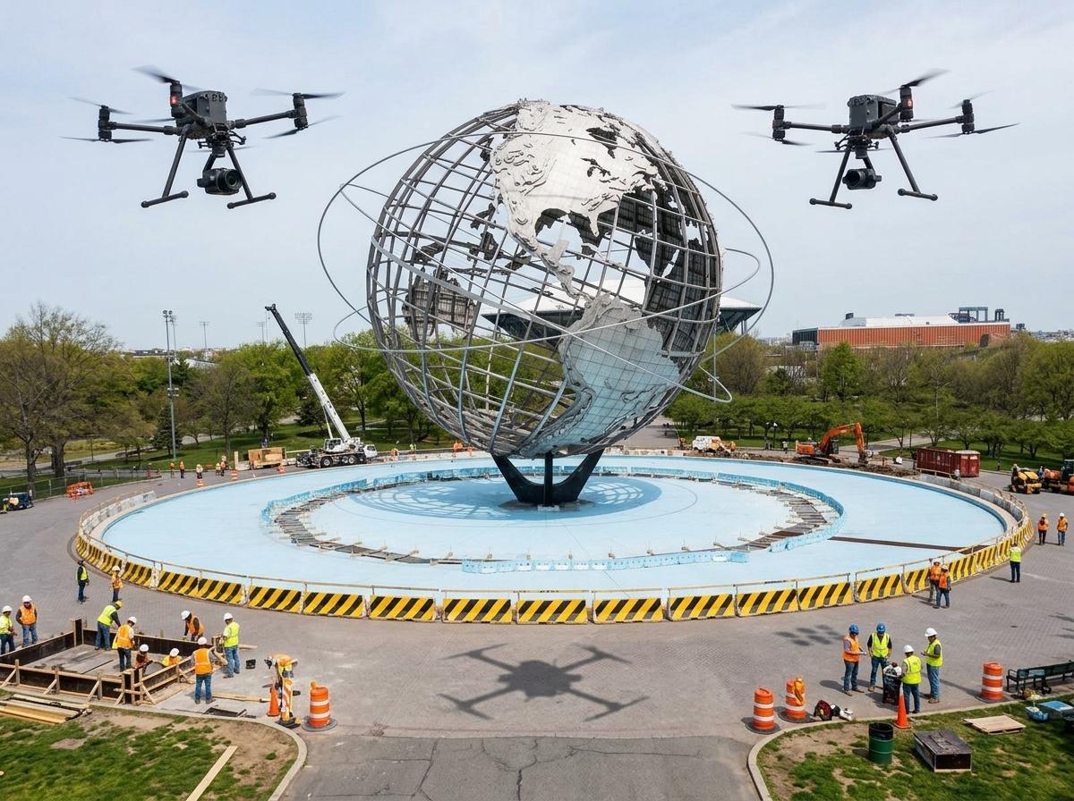
Actionable insights drive better project outcomes. Drones provide the data you need to make informed decisions and optimize your construction process.
Orthomosaic Mapping and 3D Models
Orthomosaic mapping and 3D models offer a detailed view of your construction site. These tools provide high-resolution images and accurate measurements, allowing you to assess site conditions and plan effectively. With 3D models, you can visualize your project in detail and identify potential issues before they arise.
Orthomosaic maps give you a comprehensive view of your site, making it easier to plan and execute your construction strategy. These maps are essential for accurate progress documentation and help you stay on schedule.
Real-Time Change Detection
Real-time change detection is crucial for keeping your project on track. Drones provide up-to-the-minute data, allowing you to identify changes and address them immediately. This proactive approach minimizes delays and keeps your construction moving forward.
By detecting changes in real-time, you can quickly adapt to site conditions and make necessary adjustments. This flexibility ensures that your project remains on schedule and within budget. Real-time change detection is an essential tool for successful project management.
Procore Compatible Stakeholder Reporting
Effective communication is vital for construction success. Drones provide Procore compatible reports, ensuring that your stakeholders have access to the latest data and insights. These reports are easy to understand, making it simple to share progress updates with your team and clients.
Procore compatible reporting streamlines communication and ensures that everyone involved in your project is on the same page. By providing clear and concise reports, you can build trust with your stakeholders and keep your project moving forward smoothly.
Frequently Asked Questions
What are the benefits of using drone mapping in construction?
Drone mapping provides accurate data and visuals, saving time and improving decision-making. It offers high-resolution images, quicker data collection, and access to hard-to-reach areas, ensuring comprehensive site coverage.
How do RTK drone surveys improve construction accuracy?
RTK drone surveys use real-time kinematic technology for centimeter-level accuracy. This precision ensures reliable site data, minimizing errors and reducing rework, which keeps your project on schedule.
How does drone mapping help with seasonal construction monitoring?
Drones capture clear site images regardless of weather conditions, providing valuable insights during winter and monitoring vegetation and erosion consistently across seasons. This ensures year-round progress tracking.
How can real-time change detection benefit construction projects?
Real-time change detection provides up-to-date data, allowing you to identify and address changes immediately. This proactive approach minimizes delays and keeps your project moving forward efficiently.
What is Procore compatible stakeholder reporting?
Procore compatible reporting offers clear and concise progress updates that are easy to share with your team and clients. This ensures effective communication and keeps everyone on the same page.
Prepare your projects with drone insights before the expo and fall rush.