
Most project plans still rely on outdated maps and rough estimates. That’s a costly mistake when every inch and detail counts. Accurate 3D drone models change the game by giving you precise site data, reducing risk, and keeping everyone on the same page. In this post, you’ll see how drone photogrammetry and RTK drone mapping reshape project planning—and why DroneSpection is the trusted partner to deliver results you can count on.
Accelerating Project Planning
Accurate site data transforms how projects are planned and executed. Let’s explore the benefits of adopting 3D drone models in your workflow.
Benefits of 3D Drone Models
3D drone models offer a bird’s-eye view, providing clarity that traditional maps can’t match. They capture every nook and cranny, ensuring no detail is missed. This precision helps you strategize effectively, cutting down on surprises that can derail timelines.
You gain a comprehensive snapshot of your site. This means decisions are based on real-time, accurate data. The result? Projects stay on track, with fewer hiccups. Plus, when you leverage these models, you’re not just planning; you’re predicting. You see potential issues before they arise, saving time and resources.
The beauty of 3D models lies in their versatility. They’re perfect for architects drafting initial designs or engineers assessing structural needs. And for construction managers? They offer a reliable way to monitor ongoing progress.
Enhancing Stakeholder Alignment
Communication is key in any project. With 3D models, everyone gets the same visual information. This alignment minimizes misunderstandings and keeps everyone in sync. When stakeholders see the project in 3D, it’s easier to discuss changes and make informed decisions.
These models serve as a universal language. Whether you’re presenting to investors or updating a team on-site, 3D visuals bridge communication gaps. They ensure everyone has a clear, consistent understanding of project goals.
Having a shared view fosters collaboration. It encourages input from all parties, enhancing the overall outcome. When everyone sees the same picture, it’s easier to spot opportunities and challenges together.
Reducing Project Risks
Risk is inherent in any project. But with 3D drone models, you can identify potential issues early. These models let you simulate scenarios and plan for contingencies. The more prepared you are, the fewer risks you’ll face.
By visualizing the site accurately, you can plan logistics with precision. This means safer, more efficient operations. When you understand the landscape in detail, you avoid costly mistakes and reduce delays.
The insights provided by these models go beyond visual data. They offer a proactive approach to risk management, ensuring that your project doesn’t just succeed but excels.
Drone Technology in Action
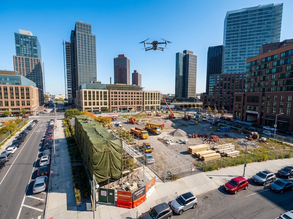
Seeing is believing. Let’s delve into how drone technology brings these benefits to life.
High-Accuracy RTK Drone Mapping
RTK drone mapping provides pinpoint accuracy. This technology measures down to the centimeter, offering data you can trust. When every inch counts, RTK mapping ensures your plans are precise and reliable.
Projects benefit from this level of detail. Whether it’s grading land or aligning structures, accuracy matters. With RTK mapping, you minimize errors, leading to smoother execution and better outcomes.
This technology is a staple for professionals who demand the best. It’s an investment in quality and efficiency, setting your project up for success from the start.
Interactive 3D Model Applications
Interactive 3D models turn data into an experience. They allow users to explore projects from every angle. This interactivity engages stakeholders, making it easier to convey complex ideas.
These models are more than just visuals. They’re tools for understanding and communication. By interacting with the data, teams can test theories and explore options. It’s an innovative approach that enhances decision-making.
For those in real estate or construction, interactive models offer a clear advantage. They present a compelling vision that’s easy to share and discuss.
Preconstruction and Site Logistics
Effective planning starts before a single shovel hits the ground. Preconstruction is where 3D models shine. They provide a detailed overview, helping you plan logistics with precision.
Whether it’s material delivery or equipment placement, knowing your site reduces guesswork. This foresight leads to better resource allocation and streamlined operations.
3D models give you the foresight to plan smarter. They help you anticipate needs and optimize workflows, ensuring your project kicks off without a hitch.
Ensuring Safety and Reliability
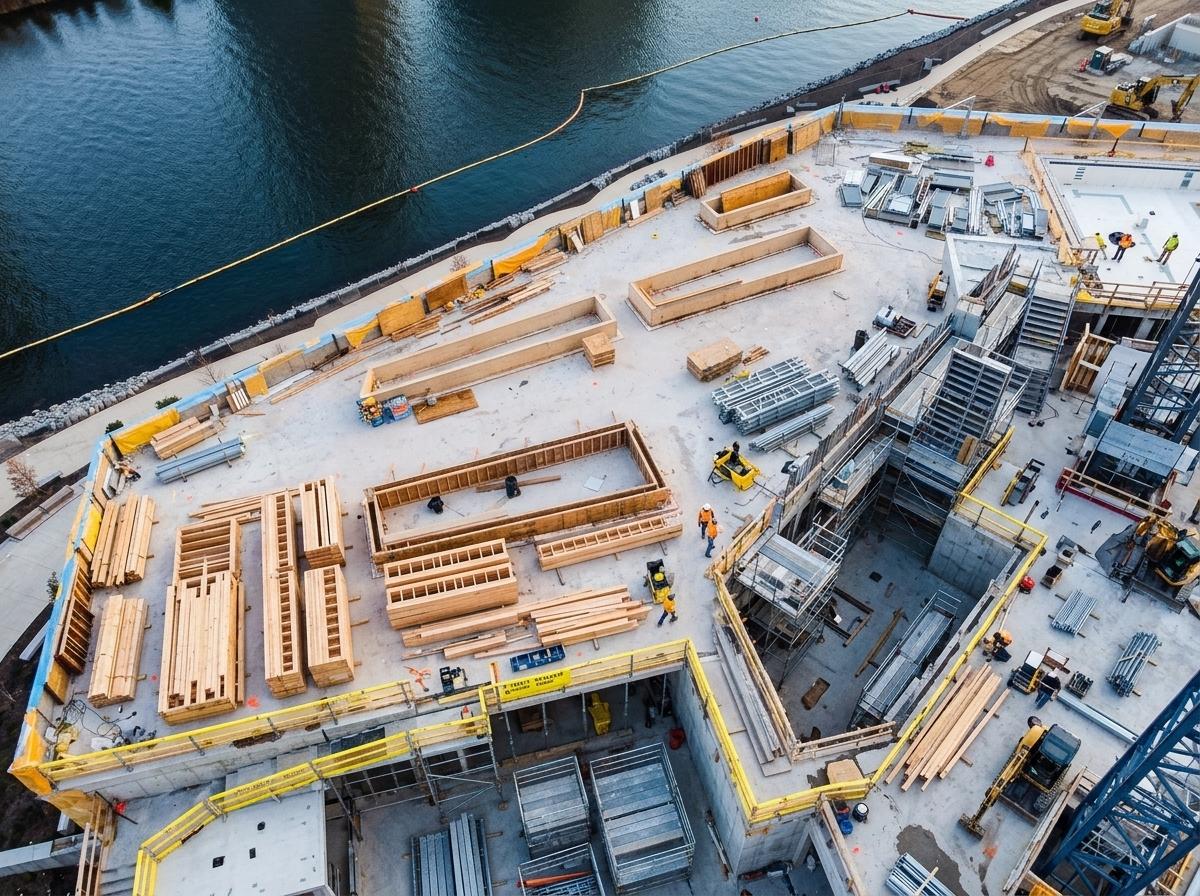
Safety and reliability are non-negotiable in any project. Here’s how drone technology enhances both.
FAA Certified and Insured Operations
Safety is paramount. DroneSpection operates with full FAA certification and insurance. This ensures compliance with regulations and peace of mind for clients.
Choosing an FAA-certified provider means you’re working with professionals who prioritize safety. It guarantees that operations are conducted within legal frameworks, reducing risks associated with non-compliance.
Insured operations further protect your investment. It’s a safeguard against unforeseen issues, ensuring that your project proceeds smoothly and securely.
Survey-Grade Accuracy Drones
Survey-grade drones provide accuracy that’s second to none. They offer the precision needed for tasks that demand exact measurements, like point cloud data and DSM DTM surfaces.
These drones are designed for professionals who can’t compromise on accuracy. They deliver reliable data, essential for tasks like cut and fill calculations or volumetric analysis.
With survey-grade accuracy, you gain data that’s not just accurate but actionable. It’s a tool that enhances decision-making and drives project success.
Real-Time Construction Progress Tracking
Staying on top of construction progress is crucial. Real-time tracking keeps you informed every step of the way. You see what’s happening on-site, allowing for timely adjustments.
This visibility is invaluable. It ensures that projects stay on schedule and within budget. Real-time tracking offers immediate insights, enabling proactive management.
With constant updates, you make informed decisions quickly. It’s a strategic advantage that keeps your project moving forward.
Frequently Asked Questions
What are 3D drone models used for?
3D drone models are used for capturing detailed site data in construction, real estate, and event planning. They provide precise visualizations for tasks like preconstruction planning, site logistics, and stakeholder presentations.
How do RTK drones improve mapping accuracy?
RTK drones offer centimeter-level accuracy by using real-time kinematic positioning. This technology ensures highly accurate maps, essential for precise planning and execution in construction and surveying projects.
Why are FAA certified drone services important?
FAA certification ensures that drone operations comply with safety regulations. It guarantees that the provider follows legal requirements, providing peace of mind and reducing risks associated with non-compliance.
What industries benefit from interactive 3D models?
Industries such as real estate, construction, and event planning benefit from interactive 3D models. They enhance visualization and communication, allowing stakeholders to explore projects from all angles and make informed decisions.
How do drones aid in construction progress tracking?
Drones provide real-time updates on construction sites, allowing managers to track progress accurately. This visibility ensures that projects stay on schedule and within budget by enabling timely adjustments and proactive management.
See how 3-D modeling delivers measurable project success.