
Build Smarter from Above: Innovative Drone Solutions for Construction Progress Tracking and Site Documentation
Construction progress tracking feels like a race against time. You need clear, accurate site documentation without risking safety or wasting hours on foot. Drone construction mapping offers a smarter way to capture aerial progress photos, orthomosaic maps, and 3D models construction—delivering precise data faster than ever. Ready to see how FAA Part 107 certified pilots capture every detail while supporting your BIM integration and progress reports?
Drone Technology in Construction
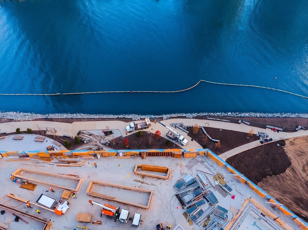
Imagine transforming your construction site into a well-documented, efficient operation. Drone technology is paving the way for smarter construction processes that save time and enhance safety.
Accurate Progress Tracking
Keeping tabs on your construction project can be overwhelming. Enter drones: your new best friend in progress tracking. With drones, you get aerial progress photos that clearly show your site from multiple angles. This allows you to monitor every stage with precision. Most people think traditional methods are enough, but drones offer a panoramic view that reveals hidden insights.
Drones capture images rapidly, providing updates in real-time. This means you receive data as soon as it’s needed, keeping your project on schedule. No more waiting for days to understand what’s happening on the ground. With drones, you’re always in the loop, and you can make informed decisions faster.
Enhanced Site Documentation
Documentation is crucial, yet often tedious. Drones simplify this by offering site documentation that is accurate and up-to-date. Their cameras snap high-resolution images that detail every corner of your site. You won’t miss anything crucial.
Moreover, these images are stored digitally, making them easy to access and share with your team. This streamlines communication and ensures everyone has the data they need. Imagine the productivity boost when your team can access detailed site data without delay.
Safety and Efficiency Benefits
Safety is paramount on construction sites. Drones make your site safer by providing an eye in the sky. They can access hard-to-reach areas without putting anyone in harm’s way. This reduces the need for risky site inspections.
Additionally, drones are quick. They cover large areas in a fraction of the time it takes to walk the site. This means your team can spend more time on value-adding tasks and less on manual inspections. The longer you wait to adopt drone technology, the more you’re missing out on these incredible benefits.
Advanced Drone Mapping Techniques
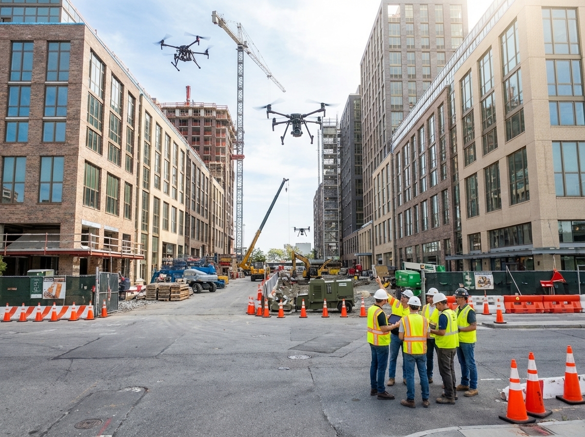
Now that you’re aware of the basics, let’s dive into the advanced mapping techniques drones offer. These techniques provide detailed insights that are invaluable for your construction projects.
Orthomosaic Maps and 3D Models
Orthomosaic maps are game-changers. They are created by stitching together numerous photos into a single, high-resolution image. This provides comprehensive views of your construction site. It’s like having a complete map of your site at your fingertips.
3D models offer another dimension of understanding. They allow you to visualize structures in three dimensions, making it easier to plan and execute projects. These models help in identifying potential issues before they become problems, saving time and resources.
RTK and PPK Surveying
Precision is key in construction, and RTK (Real-Time Kinematic) and PPK (Post Processed Kinematic) surveying ensure you get it. These techniques provide centimeter-level accuracy. RTK drone surveying offers live feedback, while PPK delivers precise data post-flight.
This accuracy means your measurements and calculations, such as cut and fill calculations, are spot on. No more guesswork or costly errors.
Volumetric Analysis and Measurements
Understanding volumes on your site is crucial. Drones simplify this with volumetric analysis and measurements. They help you calculate stockpile volumes accurately and efficiently. This is essential for ordering materials and managing resources.
Using drones for volumetric analysis means you get quick, reliable data. Stockpile measurement becomes a breeze, allowing you to focus on what matters: building.
Leveraging Drone Data for Construction
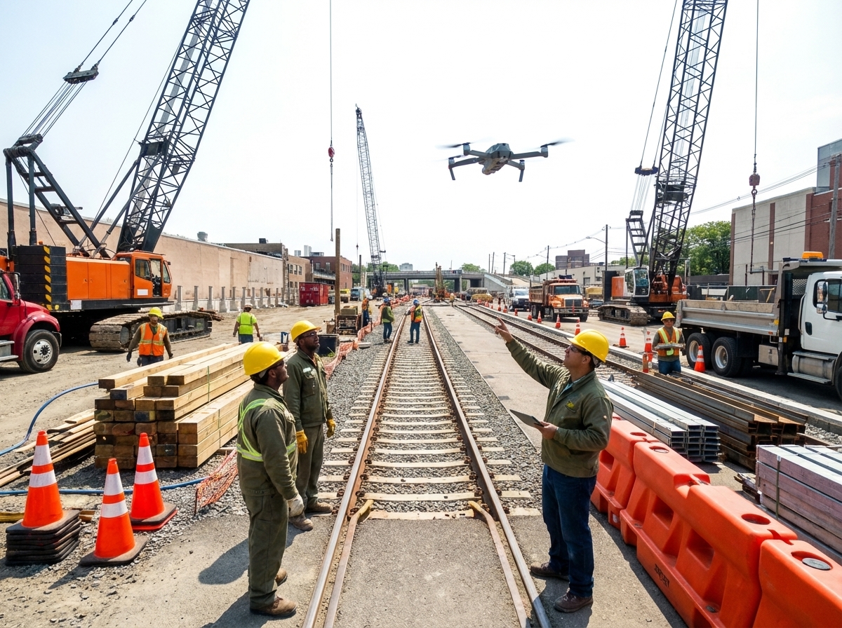
With advanced mapping techniques covered, let’s explore how you can leverage drone data to optimize your construction projects further.
Integration with BIM and Procore
BIM (Building Information Modeling) and Procore are essential tools for modern construction. Drones enhance these tools by providing accurate and timely data. This integration allows for seamless updates and adjustments to your construction plans.
Procore photo documentation benefits immensely from drone data. It ensures your documentation is always up-to-date and easily accessible.
Creating Detailed Progress Reports
Progress reports are vital for tracking your project’s success. Drones make this process straightforward. They gather data that is used to create detailed reports, offering insights that are impossible to obtain manually.
These reports help you track milestones and identify potential delays. This keeps your project on schedule and within budget. Most people assume manual reports are sufficient, but drones provide a level of detail that is unmatched.
Scheduling and Consistency Across Sites
Consistency across multiple sites can be challenging. Drones offer a solution by providing standardized data collection methods. This ensures that all your sites are managed with the same level of attention to detail.
By using drones, you ensure that scheduling is optimized and consistent across projects. This helps in maintaining a high standard of quality and efficiency throughout your operations.
In conclusion, drone technology offers unparalleled benefits for construction progress tracking and site documentation. From real-time aerial progress photos to integration with advanced tools like BIM and Procore, drones are revolutionizing the way construction projects are managed. Ready to take your project to new heights? Explore these innovative solutions today and build smarter from above.
Explore custom drone solutions that turn challenges into opportunities.