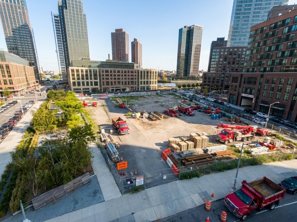
Forget slow, guesswork progress reports that leave your team scrambling. Accurate construction progress monitoring is no longer a luxury—it’s a necessity to keep projects on track and reduce costly risks. With RTK drone survey technology, you gain sharp orthomosaic maps and 3D site models that reveal every detail from above. Ready to see how precision aerial site surveys simplify reporting and boost your confidence? Check out this resource.
Accelerating Progress with Drone Mapping
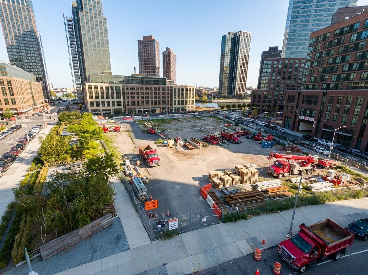
Imagine getting a complete view of your construction site without stepping foot on it. This is the power of drone mapping. It revolutionizes how you track and report progress, ensuring you stay ahead of schedule and within budget.
Benefits of RTK Drone Surveys
RTK drone surveys are a game-changer. They provide you with highly accurate data that traditional methods can’t match. With this technology, you can capture precise measurements and visual data of your site. This means fewer surprises and better decision-making. Think about it: a virtual bird’s-eye view with details down to the inch. No more guesswork. Just reliable data you can trust.
When you use RTK drones, you’re not just taking pictures. You’re gathering rich data that reveals potential issues before they become problems. This proactive approach saves you time and money. Plus, you get to impress stakeholders with clear, detailed reports. Want to know more about how this can transform your projects? Check out this insightful article on drone benefits in construction.
Enhancing Visual Progress Tracking
Visual progress tracking keeps everyone on the same page. With drone technology, you can create stunning visual records of your project. These are not just pretty pictures. They’re tools for better communication and planning. Imagine showing your team and clients a detailed timeline of your project’s progress—all from an aerial perspective.
You might think photos alone are enough, but drones take it further. They offer 3D models and interactive maps that provide a more comprehensive understanding of your site’s progress. This advanced visualization helps you spot trends and make informed decisions faster. Curious about how to integrate this into your workflow? Discover more in this resource.
Improving Reporting Accuracy
Accurate reporting is crucial for any construction project. RTK drones ensure your reports are as precise as possible. They eliminate human error and provide consistent, reliable data. This accuracy means fewer disputes and smoother operations.
By integrating drone data into your reports, you increase transparency and trust among stakeholders. Everyone can see exactly what’s happening, which builds confidence and keeps your project moving forward. Ready to start creating reports that make an impact? Learn more about the tools and techniques involved in this detailed guide.
Cutting-Edge Mapping Techniques
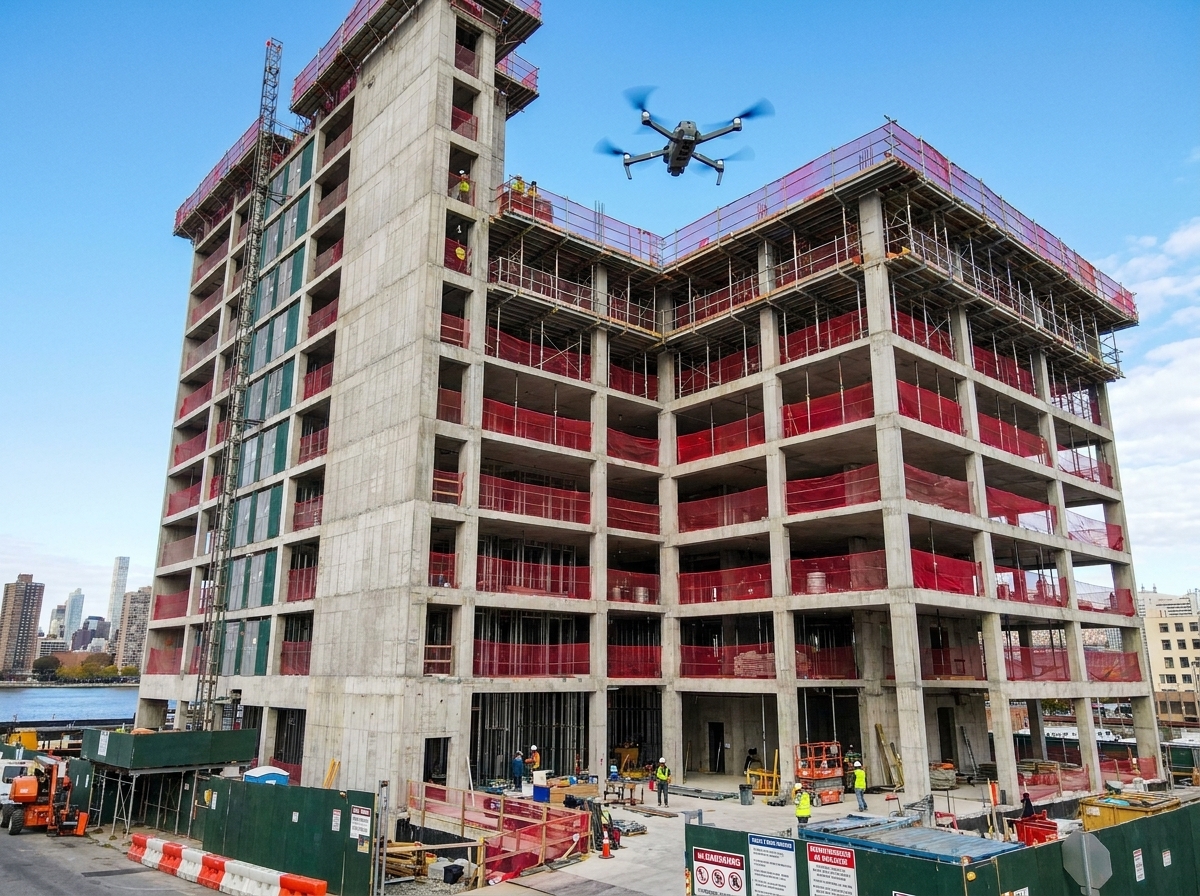
The magic of drone mapping lies in its cutting-edge techniques. These methods provide detailed insights into your project, helping you make smarter decisions and avoid costly mistakes.
Orthomosaic Maps and 3D Site Models
Orthomosaic maps are like a giant puzzle. They stitch together multiple images to give you a clear, detailed picture of your site. This map is not only accurate but also interactive, allowing you to zoom in on any area for further inspection. It’s a tool that transforms how you view and manage your site.
With 3D site models, you get a dynamic view of your project. These models are more than just visuals; they’re essential for planning and development. They help you understand the terrain and structure, ensuring your project is on the right track. Want to dive into these techniques? Check out this comprehensive overview.
Detailed Cut and Fill Analysis
Cut and fill analysis is crucial when managing site resources efficiently. Drones streamline this process by providing precise data on the volume of material to be moved. This helps in accurate planning and cost estimation, reducing the risk of over or underestimating your needs.
By understanding the exact amount of material involved, you can plan better and optimize resources. This not only saves money but also ensures the project stays on schedule. Discover how you can achieve precise cut and fill analysis with drone technology in this informative article.
Comprehensive Volumetric Calculations
Volumetric calculations are vital for project efficiency. Drones help you calculate volumes quickly and accurately. This data is essential for managing resources, reducing waste, and ensuring project timelines are met.
With drones, these calculations are no longer a tedious task. They become a seamless part of your workflow, providing you with the information you need to make informed decisions. Learn more about how these calculations can enhance your project management in this detailed guide.
Safer, Smarter Site Monitoring
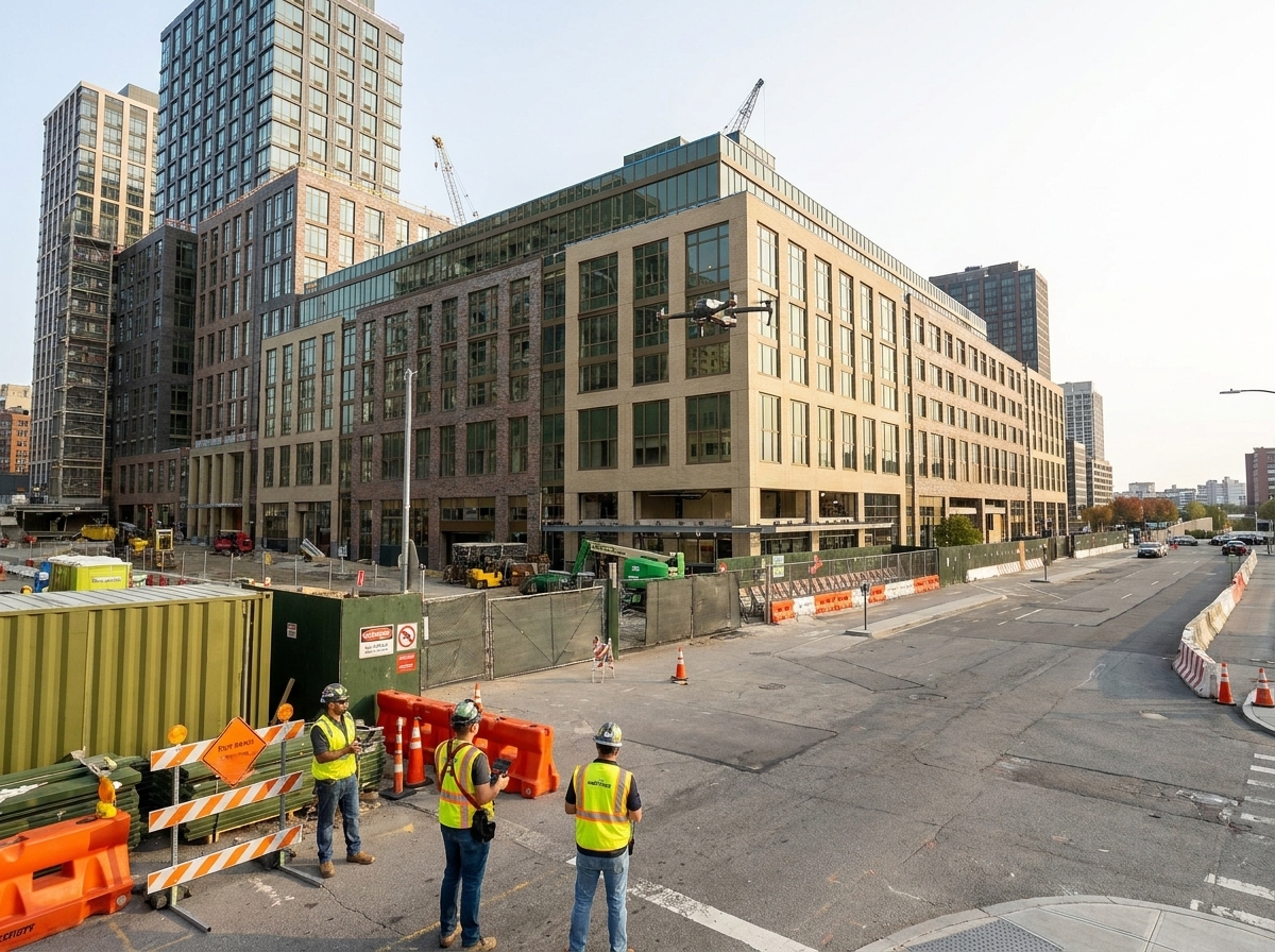
Safety and efficiency go hand in hand. Drone technology enhances both, providing a smarter way to monitor your site. It ensures you maintain high safety standards while keeping your project on track.
Reliable Site Documentation Methods
Reliable documentation is key to successful project management. Drones provide comprehensive site records that are easy to access and understand. This documentation helps you track progress, manage resources, and ensure compliance with regulations.
With drones, you can collect data without putting anyone at risk. This means safer operations and peace of mind. Curious about the best practices for site documentation? Explore this resource for more information.
Integrating GCP Ground Control Points
Ground Control Points (GCPs) enhance the accuracy of your drone data. When integrated with drone mapping, they provide precise location information, ensuring the highest quality data collection. This precision is crucial for aligning your drone data with other project information.
GCPs are a vital part of ensuring your drone maps are as accurate as possible. This integration helps you create reliable reports and make informed decisions. Want to learn how to make the most of GCPs in your projects? Check out this detailed guide.
Streamlining Construction Reporting
Streamlined reporting is a must for efficient project management. Drones simplify this process, providing you with comprehensive data that’s easy to interpret and share. This efficiency keeps your project on track and stakeholders informed.
With drone technology, reporting becomes a tool for collaboration and transparency. It helps you build trust with clients and team members, ensuring everyone is aligned and informed. Ready to revolutionize your construction reporting? Discover more in this informative article.
Incorporating drone technology into your construction projects can transform the way you work. It’s more than just a tool; it’s a partner in achieving your project goals. Take the leap into the future of construction management today!
Discover how striking aerial visuals can elevate your project’s success.