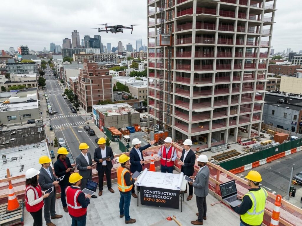
Forget everything you think you know about construction drones. This fall at Construction Technology Expo 2026, new drone trends will reshape how you capture progress monitoring, site reality capture, and BIM integration. Imagine autonomous drones delivering pinpoint RTK GPS mapping, thermal imaging inspections, and seamless digital twin updates—all designed to sharpen your project controls. Ready to see what’s next? Let’s explore the drone trends 2026 that will change your construction game.
Key Drone Trends at the Expo
Get ready to witness cutting-edge advancements in drone technology. The Expo will highlight shifts that are set to redefine how construction projects are managed and monitored. Let’s dive into these exciting developments.
Autonomous Drones Revolutionizing Progress Monitoring
Imagine drones that operate independently, capturing site data without human intervention. That’s the power of autonomous drones. These smart machines track your project’s progress in real-time, providing you with accurate data every step of the way. By using pre-programmed flight paths, they ensure consistent data collection, which means fewer surprises and more predictability. You can focus on critical tasks, knowing your project is well-monitored. Their reliability reduces the risk of errors, helping keep your project on schedule and budget.
RTK GPS and Orthomosaic Mapping Breakthroughs
Accurate mapping is crucial in construction. RTK GPS technology brings precision to the forefront. It enables drones to create detailed orthomosaic maps, transforming how sites are planned and executed. These maps offer an aerial view with stunning accuracy, down to the centimeter. Such precision minimizes potential errors in site layouts, helping you make informed decisions faster. Whether it’s planning or adjusting site layouts, these advanced maps give you an edge in every project phase.
BVLOS Operations and Remote ID Updates
Drones are venturing beyond visual line-of-sight (BVLOS), broadening their scope on construction sites. This advancement means drones can cover larger areas without the need for constant human oversight, increasing operational efficiency. With new Remote ID regulations, tracking and managing drone operations becomes seamless, enhancing safety and compliance. Imagine a world where drones autonomously navigate and report back, keeping you informed without manual intervention.
Advanced Drone Technologies for Construction
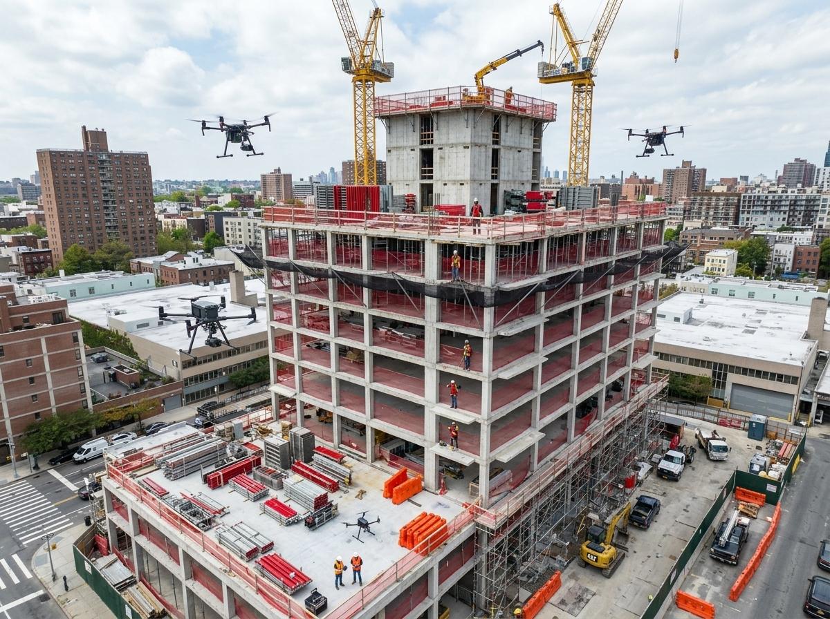
The Expo isn’t just about drones flying high; it’s about the technologies that make them smarter. These innovations will enhance your construction workflow, providing insights that were previously unimaginable.
LiDAR Scanning and Photogrammetry Insights
LiDAR and photogrammetry are transforming site surveys. LiDAR scanning provides detailed terrain models, even through dense vegetation, offering unparalleled site insights. Photogrammetry complements this by turning images into 3D models, giving you a visual representation of your site’s intricacies. Together, they create a powerful toolset for understanding terrain and planning with precision. This integration reduces guesswork, enabling more accurate assessments and resource allocation.
Thermal Imaging and Facade Inspection Techniques
Thermal imaging drones can detect heat signatures and structural inconsistencies, making them invaluable for facade inspections. By identifying potential issues early, they help prevent costly repairs down the line. Whether it’s checking insulation or detecting leaks, these drones ensure your buildings are not just standing but thriving. They deliver insights that keep your structures safe and efficient, driving long-term cost savings.
BIM Integration and Digital Twin Capabilities
Building Information Modeling (BIM) and digital twins are no longer just buzzwords. Drones seamlessly integrate with BIM systems, providing real-time updates and creating digital replicas of construction sites. These digital twins allow for virtual walkthroughs and scenario planning, offering a dynamic view of the site. This capability enhances collaboration among teams, ensuring everyone is on the same page and contributing to a more efficient project delivery.
Maximizing Drone Benefits for Construction
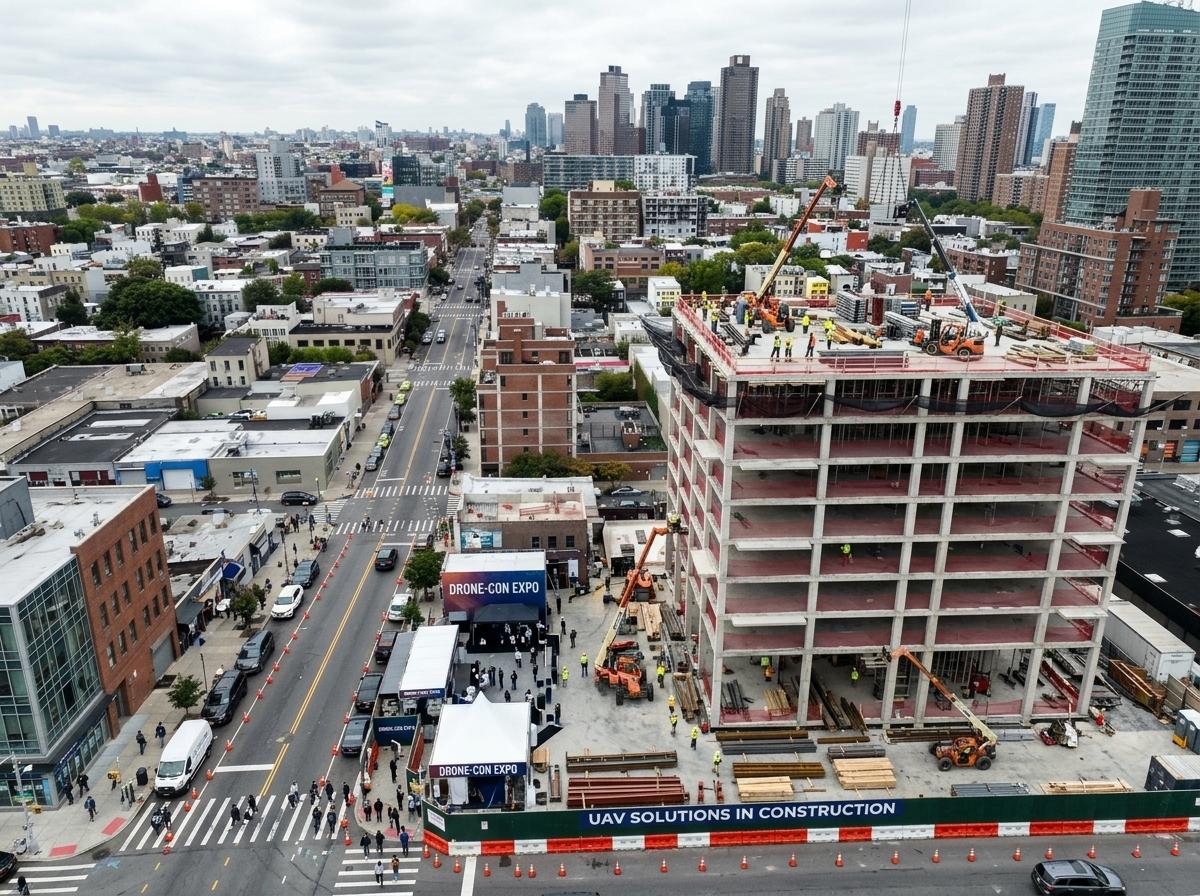
Harness the full potential of drones by exploring their diverse applications. These technologies not only enhance construction efficiency but also improve safety and accuracy.
Safety Inspections and Site Reality Capture
Drones add a layer of safety by performing inspections in hazardous areas, reducing the need for human exposure to risks. They capture the reality of your site with precision, offering detailed visual data that enhances safety protocols. By providing a comprehensive view, they allow you to address potential hazards proactively, making the construction environment safer for everyone involved.
Volumetrics and Cut/Fill Analysis for Earthworks
Accurate earthwork calculations are essential for project success. Drones excel in volumetric assessments, calculating cut and fill volumes with precision. This capability ensures optimal resource allocation and reduces waste. With drones, you can quickly assess earthwork needs, adjust plans, and execute projects with precision, all while staying on budget and timeline.
GIS Deliverables and 3D Model Visualizations
Geographic Information System (GIS) deliverables are essential for comprehensive site analysis. Drones provide high-quality GIS data, which is vital for planning and execution. These deliverables, combined with 3D model visualizations, offer an in-depth understanding of site conditions. Such insights facilitate better decision-making, enhancing both the speed and accuracy of project execution.
Frequently Asked Questions
What are the benefits of using autonomous drones in construction?
Autonomous drones improve efficiency by independently capturing site data, reducing human intervention and errors. They ensure consistent monitoring, helping keep projects on track and within budget.
How does RTK GPS improve mapping accuracy?
RTK GPS enhances mapping precision by providing centimeter-level accuracy. This accuracy minimizes potential errors in site layouts, facilitating faster and more informed decision-making.
Why is BVLOS important for construction drone operations?
BVLOS allows drones to cover larger areas without constant human oversight, increasing operational efficiency and enabling broader site coverage.
What role does thermal imaging play in facade inspections?
Thermal imaging detects heat signatures and structural inconsistencies, identifying potential issues early. This proactive approach helps prevent costly repairs and ensures building safety.
How do drones integrate with BIM systems?
Drones provide real-time data that updates BIM systems, creating digital replicas or digital twins of construction sites. This integration enhances collaboration and improves project delivery efficiency.
Prepare your projects with drone insights before the expo and fall rush.