
Drone safety isn’t just a checkbox—it’s the backbone of every successful aerial project in real estate and construction. Skipping essential protocols can cost you time, money, and your reputation. This guide breaks down what you need to know about FAA Part 107 compliance, airspace authorization, and on-site safety plans to keep your project secure and your visuals stunning. Ready to elevate your drone operations with trusted expertise? Learn more about enhancing your drone safety protocols here.
Essential Drone Safety Protocols
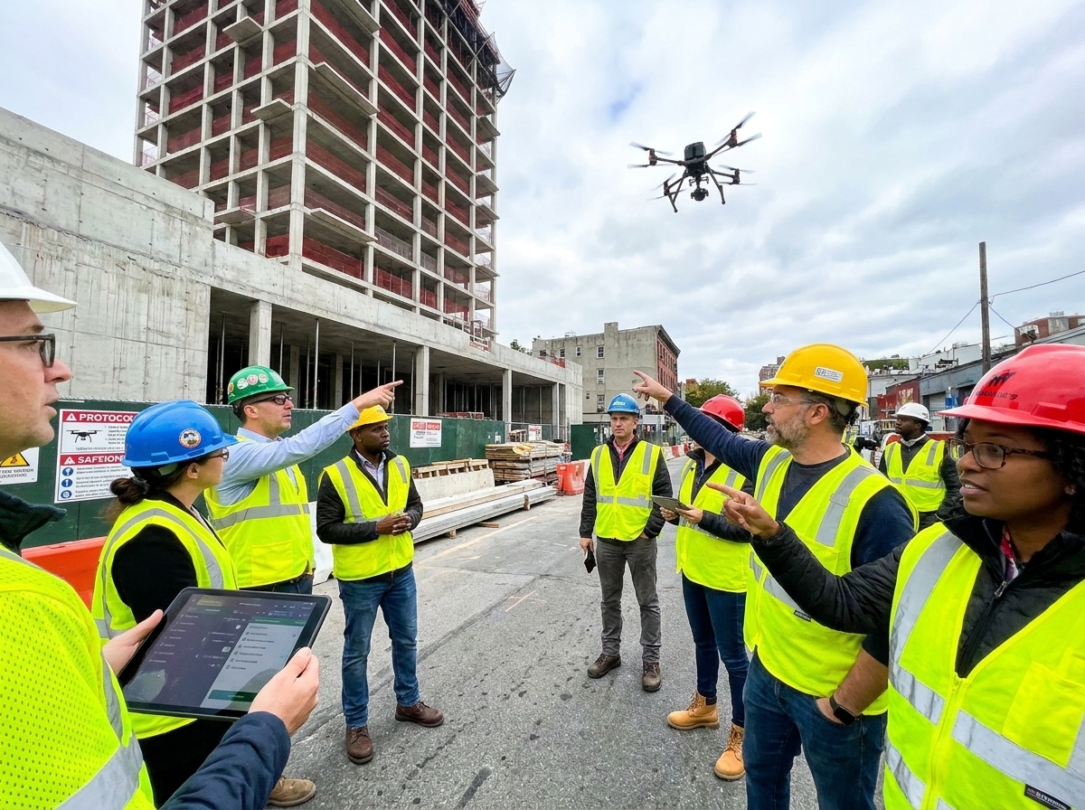
Making sure your drone operations are safe is not just about following rules. It’s about protecting your investment and ensuring your project succeeds. Let’s dig into the core safety protocols every drone operator should know.
Site Risk Assessments
Before you launch a drone, you need to assess the site. This means looking for any potential hazards that could interfere with your flight. You should consider everything from power lines to trees and even weather conditions. A clear site risk assessment can save you from unexpected mishaps.
Use a risk assessment matrix to weigh the potential dangers against the likelihood of them happening. This simple chart can guide you in making informed decisions. Remember, a thorough assessment can prevent accidents and keep costs down.
Airspace and LAANC Authorization
Understanding airspace is crucial. Not all areas are open for drone flights, so knowing where you can fly is a must. This is where LAANC authorization comes in. It grants you instant access to fly in controlled airspace. Without it, you risk fines and project delays.
Always perform a NOTAM check to ensure there are no temporary air restrictions. It’s an essential step that most people overlook, but it can save you from legal trouble. A proactive approach keeps your operations smooth and compliant.
Remote ID and Geofencing
Remote ID helps identify your drone in the air. It’s like a digital license plate. Ensuring your drone has the correct Remote ID setup is vital for legal compliance and safety. It’s a step that reassures others of your professional standards.
Geofencing is an added layer of safety. It uses GPS to prevent your drone from entering restricted zones. This technology is a safeguard against accidental infractions. Together, Remote ID and geofencing create a reliable safety net.
Ensuring Compliance and Security

Beyond basic safety, compliance and security play a big role in drone operations. These factors protect your data and assure clients of your professionalism.
Drone Data Security
Your drone collects a lot of data. Protecting this data is crucial. It includes sensitive information that, if lost or stolen, could harm your business. Implementing strong data security protocols ensures that information stays safe.
Use encrypted storage solutions to protect your data. This not only secures your files but also builds trust with your clients. A secure operation is a professional operation.
Privacy Compliance in Operations
Privacy concerns are at the forefront of drone operations. Respecting privacy means being aware of what you capture and how you use it. Following privacy compliance protects your business and respects those around you.
Always inform people when you’re flying nearby. This simple act of transparency can prevent misunderstandings and legal issues. Knowing the privacy laws in your area is essential for ethical operations.
FAA Part 107 and Drone Insurance
Operating within the FAA Part 107 rules is non-negotiable. It’s the foundation of legal drone operations. Having a certified pilot ensures you’re following the necessary guidelines.
Alongside certification, having drone insurance is vital. It protects your investment and covers potential liabilities. This dual approach of certification and insurance builds a robust foundation for your operations.
Enhancing Construction and Real Estate Projects
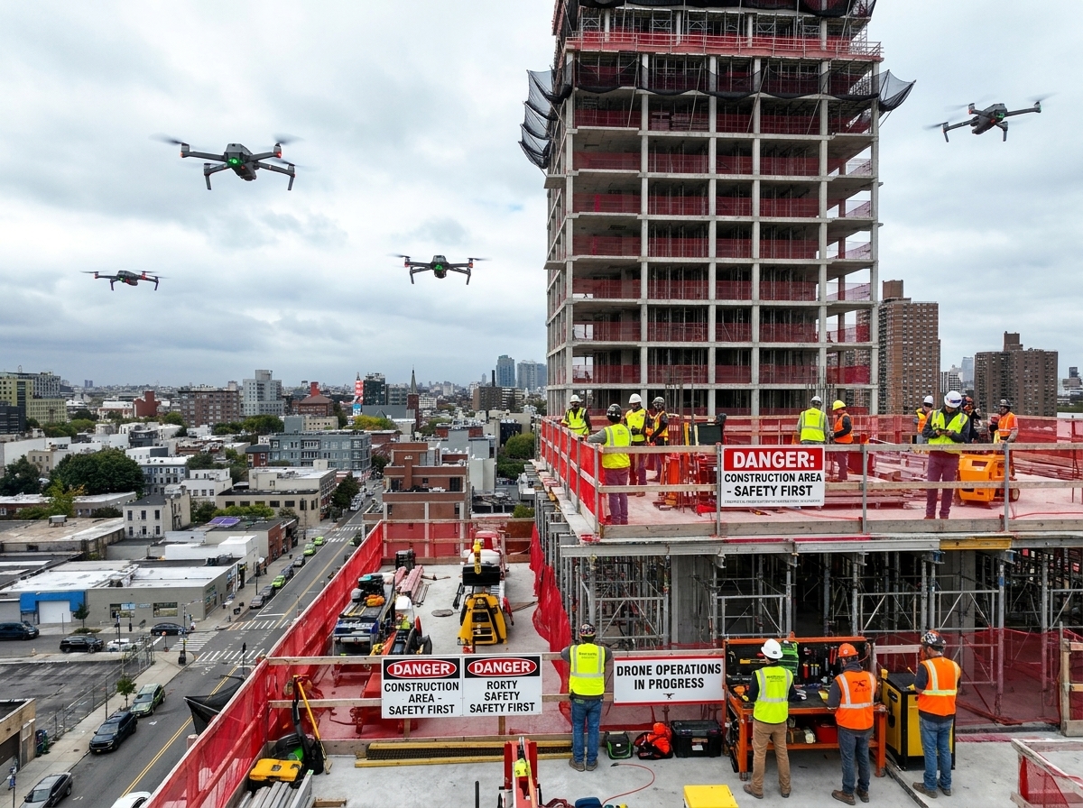
Drones offer more than safety and compliance. They elevate the quality and efficiency of your projects. Let’s explore how drones can enhance your work in construction and real estate.
Real Estate Drone Photography Techniques
Capturing stunning real estate photos is an art. Drones offer unique angles that traditional photography can’t match. They showcase properties in a way that attracts buyers and closes deals faster.
Consider using high-quality cameras for crisp images. This investment pays off in the allure and professionalism of your listings. Remember, eye-catching visuals are your best sales tool.
Construction Progress Monitoring
Keeping track of construction progress is easier with drones. They offer a bird’s-eye view of the site, helping you monitor developments efficiently. This overview saves time and improves accuracy.
Regular drone surveys provide real-time updates. This means you catch issues early, preventing costly delays. Drones transform progress monitoring into a proactive process.
Orthomosaic Mapping and 3-D Models
Orthomosaic mapping creates accurate, detailed maps from drone images. It’s a game-changer for site planning and evaluation. These maps offer precise measurements and insights that traditional methods can’t.
3-D models add another layer of depth. They provide a comprehensive view of the site, aiding in planning and visualization. Together, these tools enhance your project’s precision and impact.
In summary, drone operations are about more than just flying. They involve comprehensive safety, compliance, and enhancement protocols. By integrating these elements, you ensure successful and efficient projects. The potential of drones is immense. Are you ready to unlock it?
Discover how striking aerial visuals can elevate your project’s success.